These pages provide access to time-series oceanographic data collected by USGS investigators and collaborators as part of experiments to study circulation and sediment transport in the coastal ocean. The experiments were typically one month to several years long and were carried out between 1975 and the present. Measurements include current velocity, temperature, pressure, conductivity, light transmission (beam attenuation) among others. The experiments often focused on observations near the sea floor, but most also obtained some data in the water column. Data are provided at the fastest instrument sampling interval and often as hourly averages. Experiments longer than a few months may entail multiple, sequential instrument deployments; the data for these experiments are available as separate records.
The data are stored in Network Common Data Format (netCDF) files using the Equatorial Pacific Information Collection (EPIC) conventions defined by the NOAA Pacific Marine Environmental Laboratory. NetCDF is a general, self-documenting, machine-indepent, open source data format created and supported by the University Corporation for Atmospheric Research (UCAR). EPIC is an early set of standards designed to allow researchers from different organizations to share oceanographic data. The files may be downloaded or accessed using the Open-source Project for a Network Data Access Protocol (OPeNDAP). The OPeNDAP framework allows users to access data from anywhere on the internet using a variety of different client-server methods. In addition, the data are served via Thematic Realtime Environmental Distributed Data Services (THREDDS) on each project's page. We plan to also release the data conforming to the Climate and Forecast convention (CF). CF is an extension of conventions used by the Cooperative Ocean/Atmosphere Research Data Service (COARDS) for the standardization of netCDF files. CF is widely used by climate modelers, and is becoming more widely used by oceanographers.
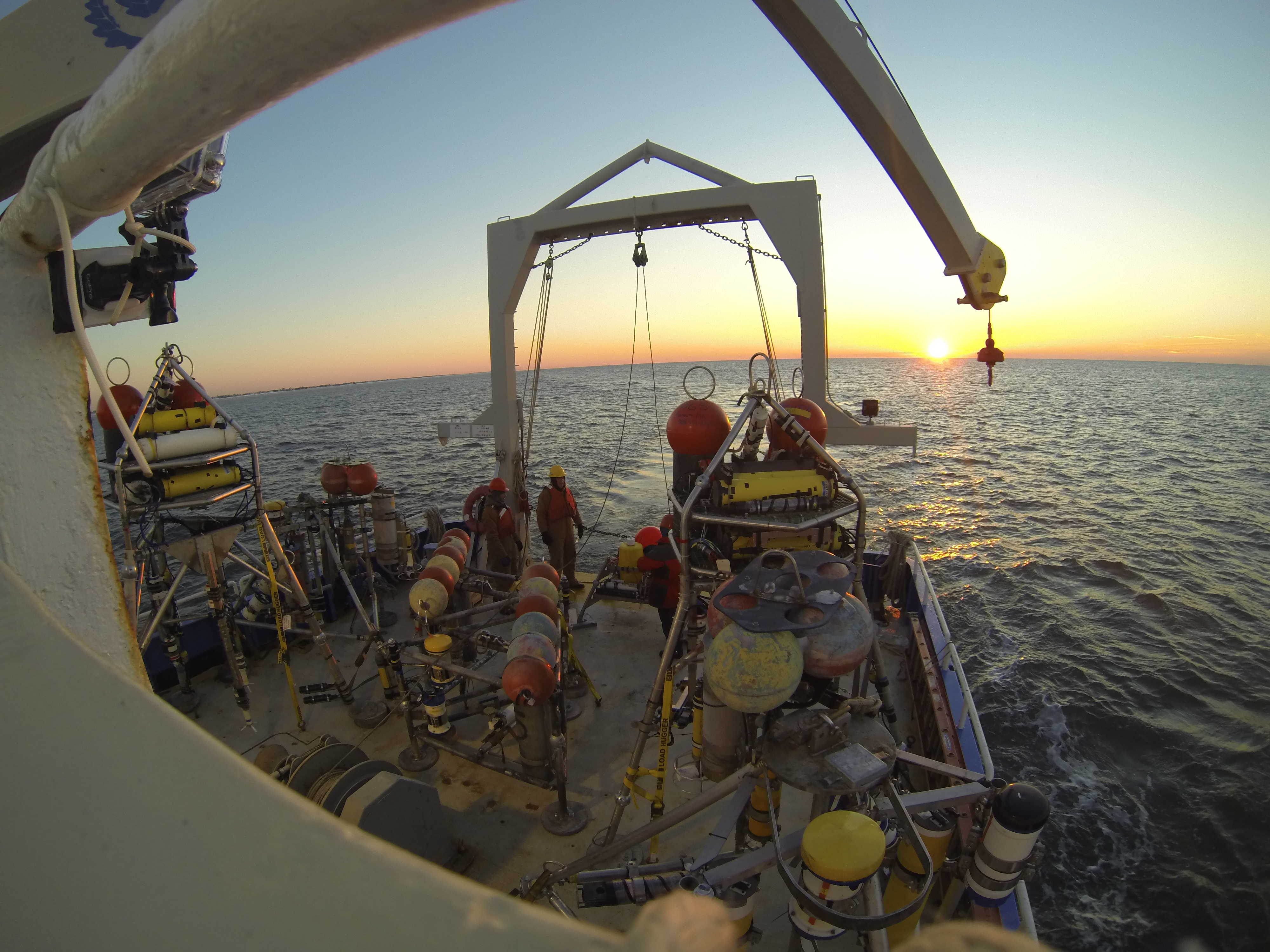
Equipment Deployment off Cape Hatteras. Photo Credit J. List
Documentation of the workflow for publishing data in the the U.S. Geological Survey Oceanographic Time-Series Database is available in the Open-File Report by Montgomery and others (2016). This report describes the platforms and instruments employed, data-processing techniques, and data-quality assessment methods used to collect, process and review the data. The report also provides more detail about the file naming conventions, storage format, typical file contents, and distribution and visualization methods for the data. After publication, the Open-File Report received approval, which allows publication of our oceanographic data directly to this database after the processing and review steps described are completed.
More information about the engineering and technical capabilities of the group responsible for collecting most of the data is available on the Sediment Transport Instrumentation Facility web pages.
References
Montgomery, E.T., Martini, M.A., Lightsom, F.L., Butman, B., Nowacki, D.J., and Suttles, S.E., 2008, Documentation of the U.S. Geological Survey Oceanographic Time-Series Measurement Database (ver. 3.0, April 2021): U.S. Geological Survey Open-File Report 2007–1194, https://doi.org/10.3133/ofr20071194.
![]() U.S. Department of the Interior |
U.S. Geological Survey
U.S. Department of the Interior |
U.S. Geological Survey
URL: https://stellwagen.er.usgs.gov//overview.html
Page Contact Information: Feedback
Page Last Modified: Thursday, 22-Jul-2021 15:14:01 EDT (AB)
